Free to Download,
$0.00
To Print For You.Landforms in Parashas Masei
Item Number: CRBAM16-RS066
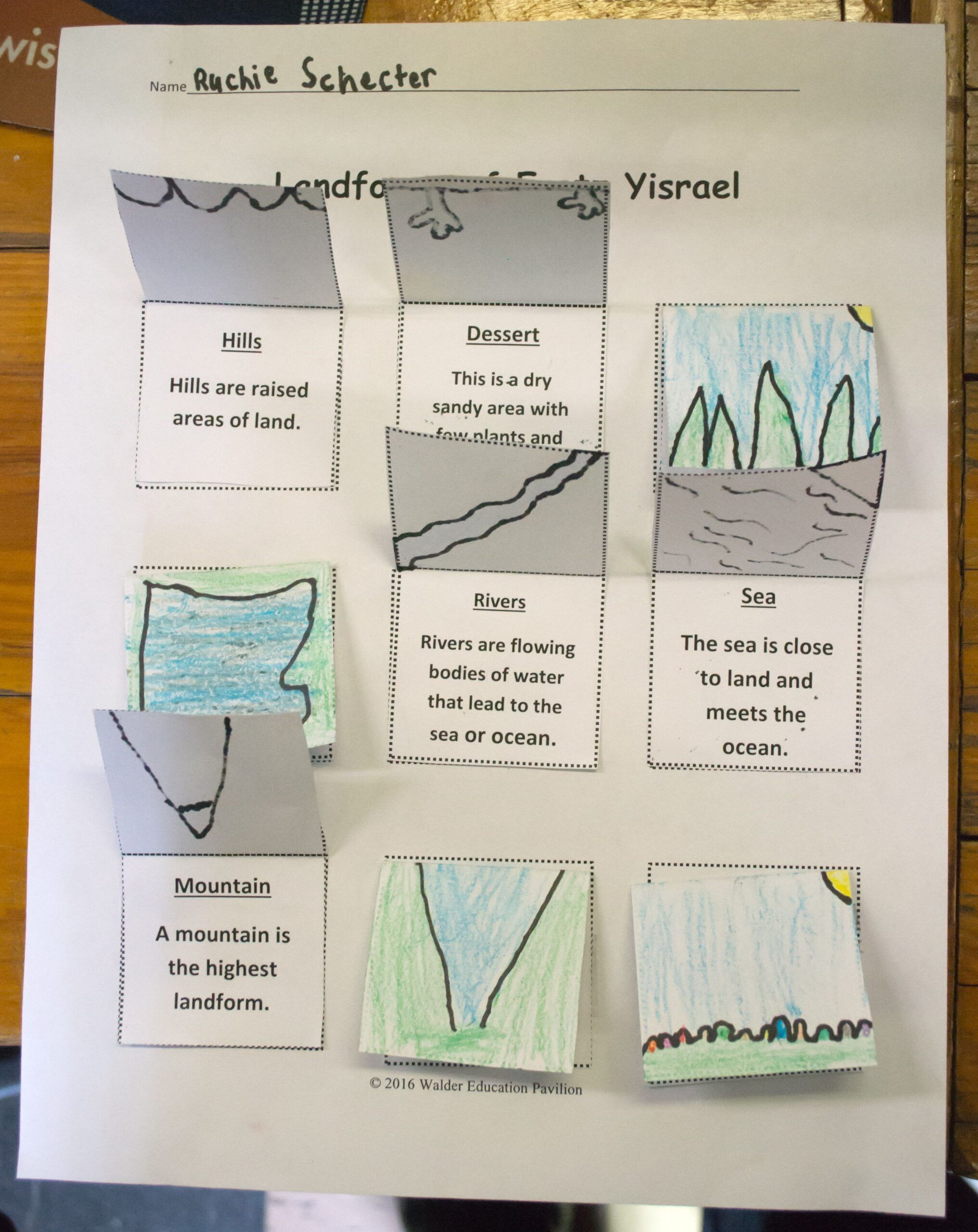
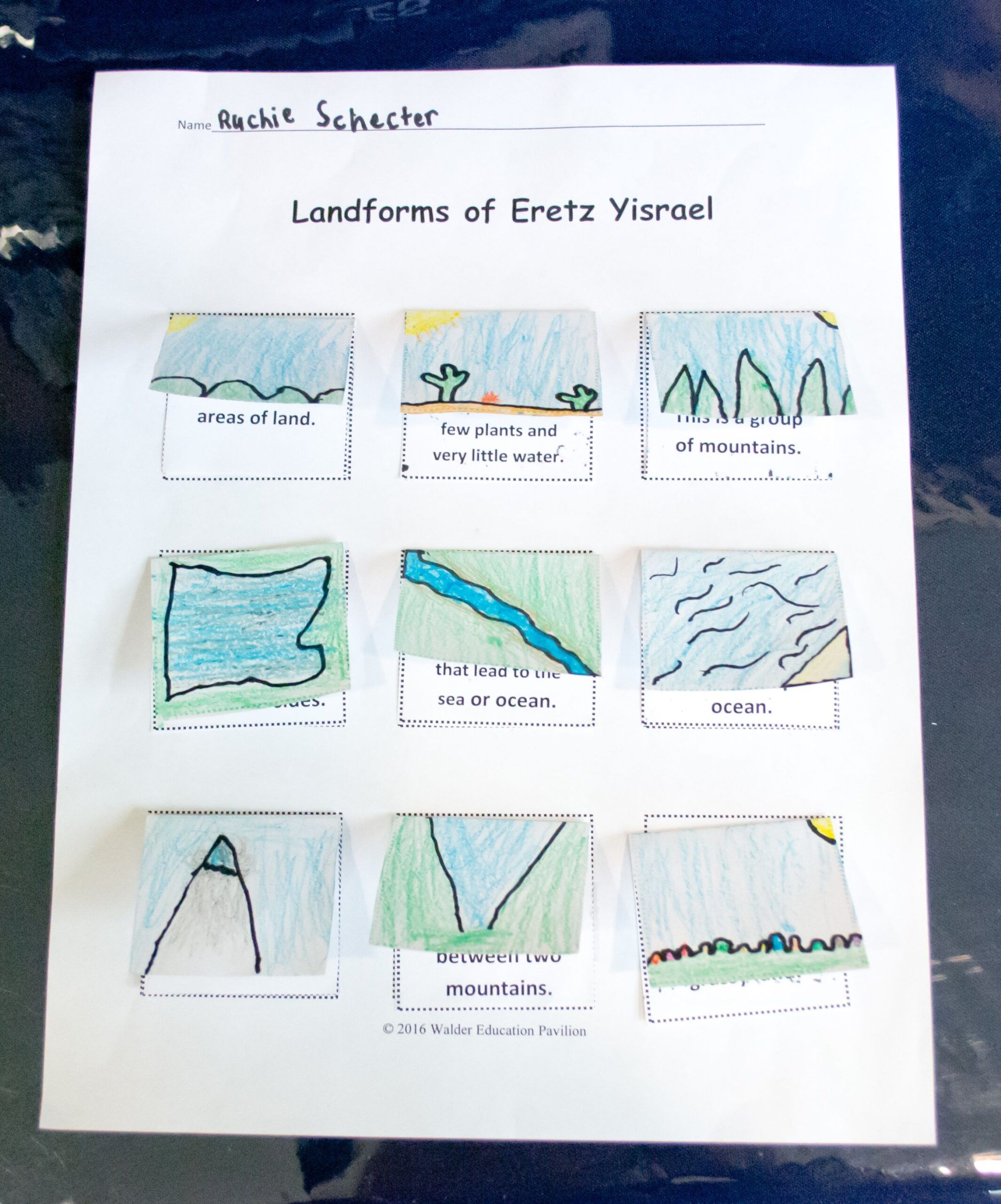
In this Parshah the Jews are preparing to enter Eretz Yisrael and are told by Hashem what the boundaries of their land will be. The boundaries are described in terms of rivers and seas and mountains which surround the land of Eretz Yisrael. This is a great time to discuss landforms. When the students are familiar with the terms that describe the different types of geographical characteristics, the lessons of the chumash are within their realm of experience and therefore more meaningful. In this lesson the students will use crayons to draw each landform and paste them onto the template. Older students could be challenged to label the landforms on a map of Eretz Yisrael.
No reviews yet.
-
CRBAM16-RS066 53 Downloads
Or Print For Me:
$0.00
Specifications
| Size: | 8.5″x11″ |
|---|---|
| Language: | Hebrew/English |
| Language Style: | N/A |
| Gender: | N/A |
| Color: | Black and White, Color |
| Grade(s): | Pre-2nd, 3rd-5th |
| Resource Type(s): | Curriculum Materials |
| Subject(s): | Tanach, Parshah, Masei, Secular, Science, Landforms |
Printing
| Contents: | 9-8.5”x11”-Black and White, Color | Paper | Not Laminated |
|---|---|---|---|
| Page Scaling: | None (Do not fit to printable area) | ||
| Notes: |
Some cutting and assembly may be required. Laminated items will require trimming. Items larger than 11×17 inches may require a large format printer. |
||
Goals
| Goals and Objectives: | The students will identify different landforms using the correct vocabulary terms. They will draw a picture of each landform to demonstrate their knowledge of the terms. |
| Skills Needed: | focus on task,ability to follow directions, fine motor skills |
Materials
- Crayons
- Scissors
- Glue
- Template attached below
Credits
| Publisher: | Walder Education |
|---|---|
| Founding Director: | Mrs. Rouhama Garelick |
| Created: | Rivkie Schecter |
| Concept: | www.education.com, www.onlypassionatecuriosity.com, www.aroundthekampfire.com |
| Photography: | Rabbi Avraham Gershon |
Date Submitted: August 11, 2016
Related Products
Reviews
Be the first to review “Landforms in Parashas Masei” Cancel reply
You must be logged in to post a review.


Reviews
There are no reviews yet.